 Frajka-Williams
Ocean Gliders
Ocean gliders, a type of autonomous underwater vehicle, are a measurement platform which carries oceanographic sensors to remote regions of the worlds’ oceans. They are characterised by long-endurance (up to 1 year) and can be remotely piloted from shore. The measurements they make depend on the sensor payload, and may include ocean temperature, salinity, dissolved oxygen concentration, bio-optical measurements, turbulence, current speed and direction, and more. Gliders have been in operation since the early 2000s, commercially-available some years later, and are now relatively prolific (with 10s of groups across the world using them for oceanographic research).
In the EO group, we use ocean gliders to make measurements of oceanographic properties and estimates of turbulent dissipation. Some examples of scientific and methodological advances using glider-based oceanographic data are given below.
Estimating vertical seawater velocity (w)
Estimating turbulent dissipation from glider w
Estimating primary production from gliders
Horizontal density gradients from gliders
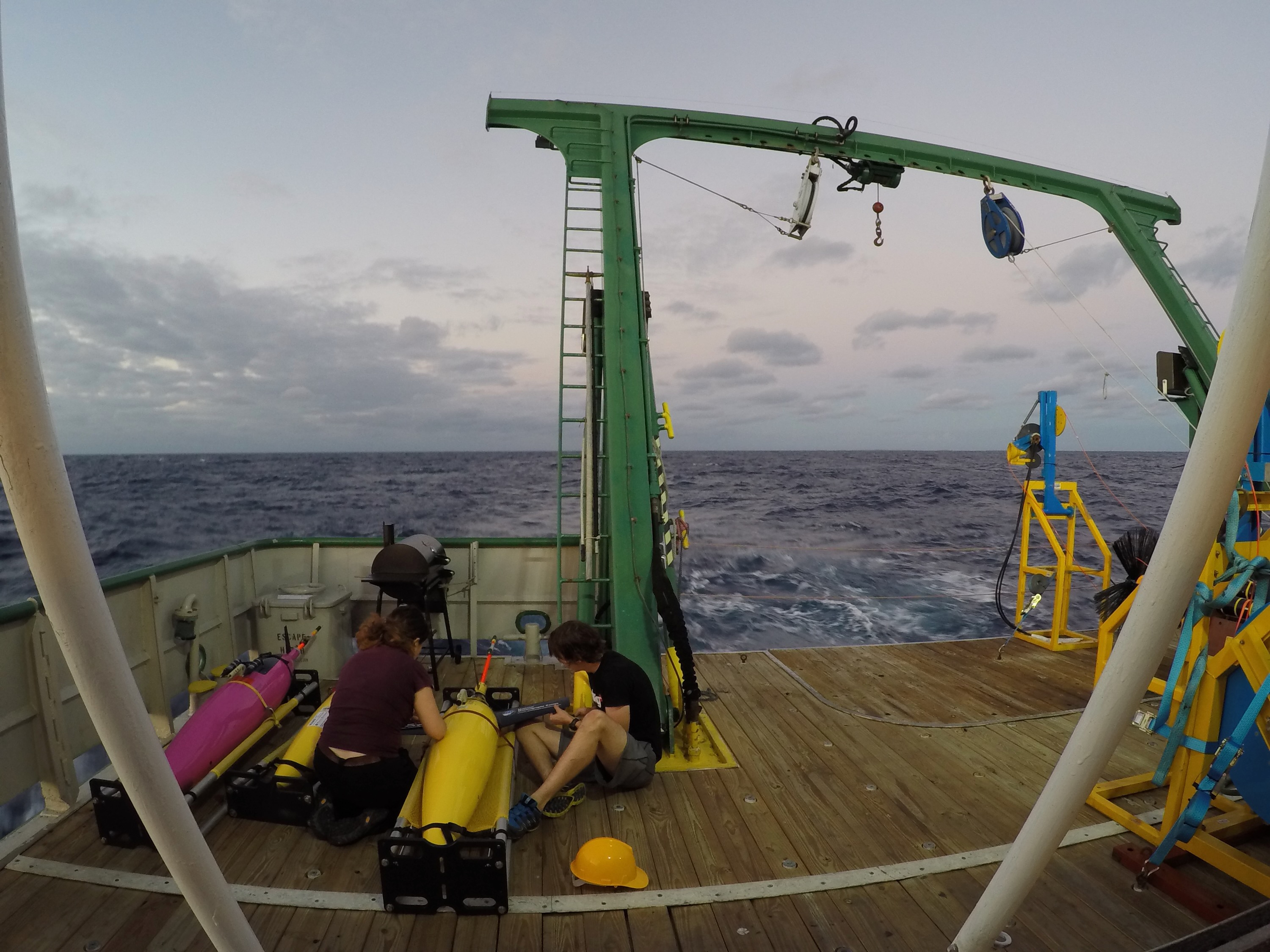
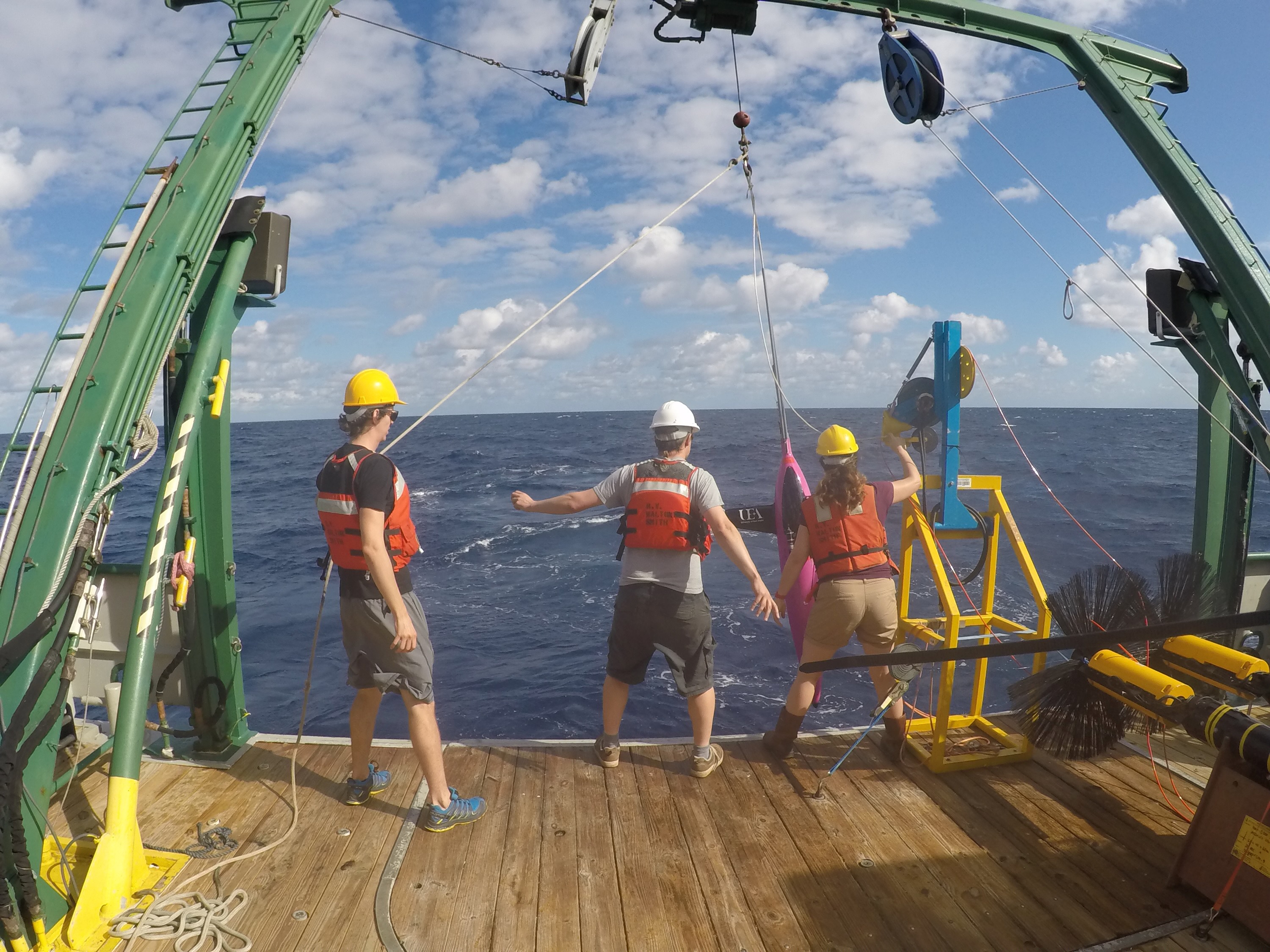
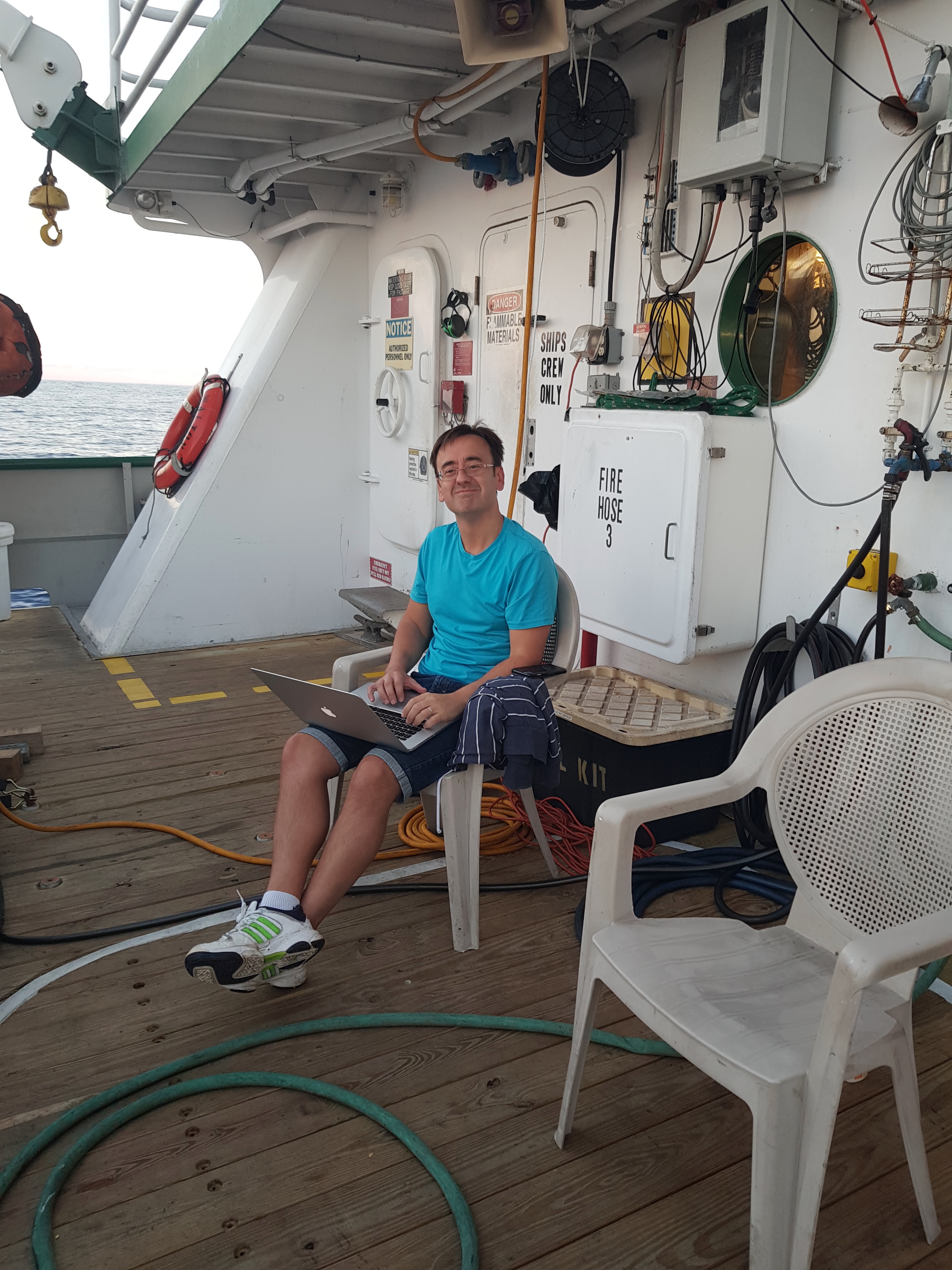
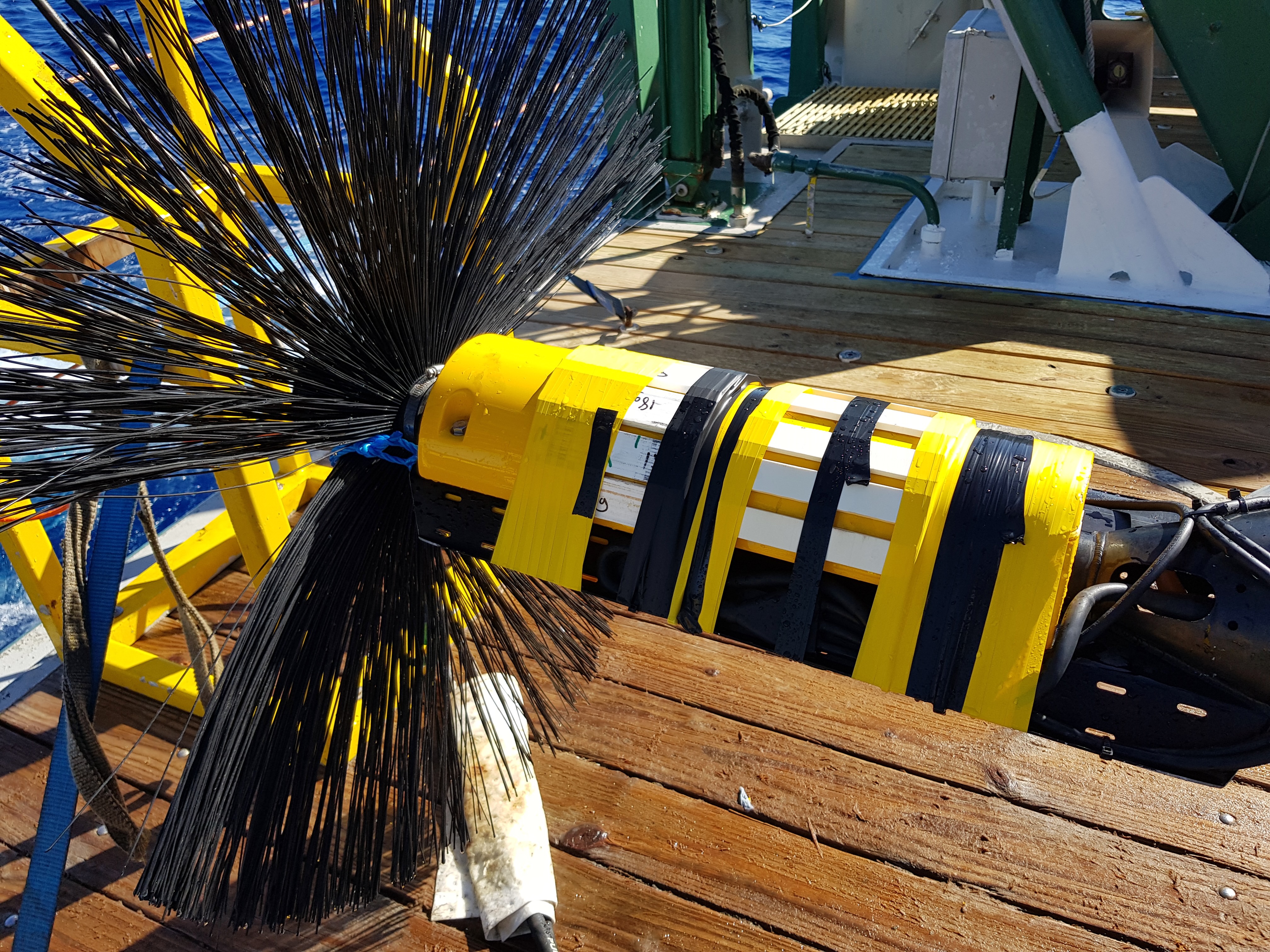
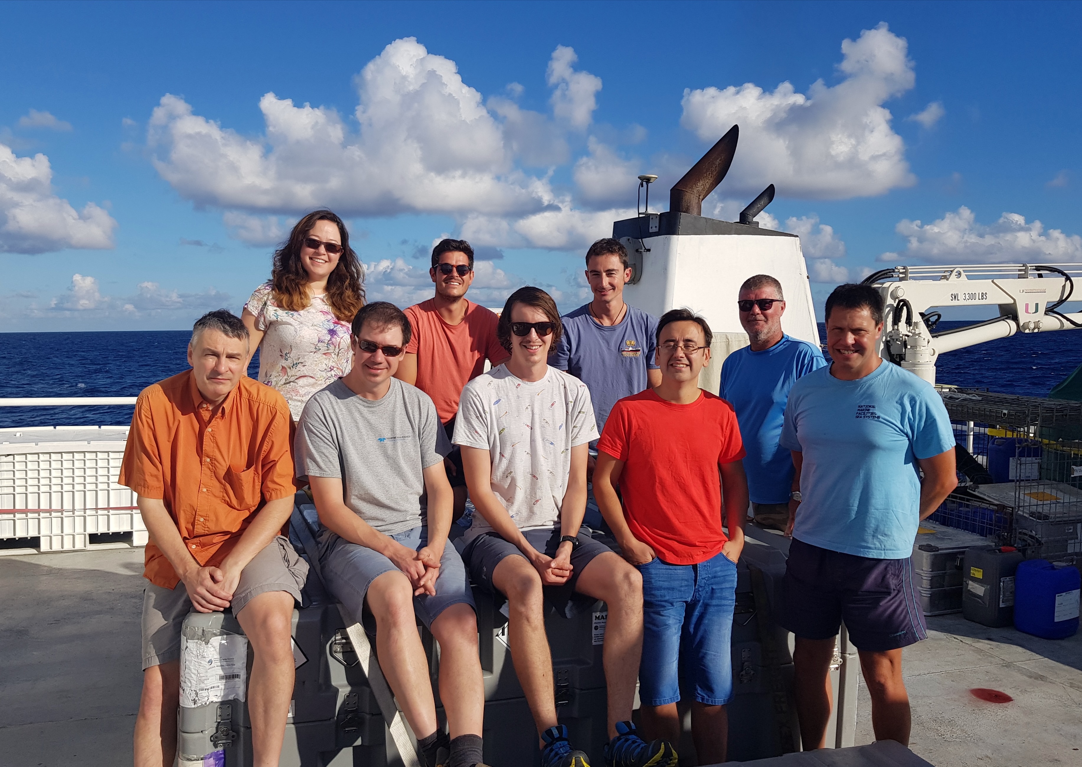
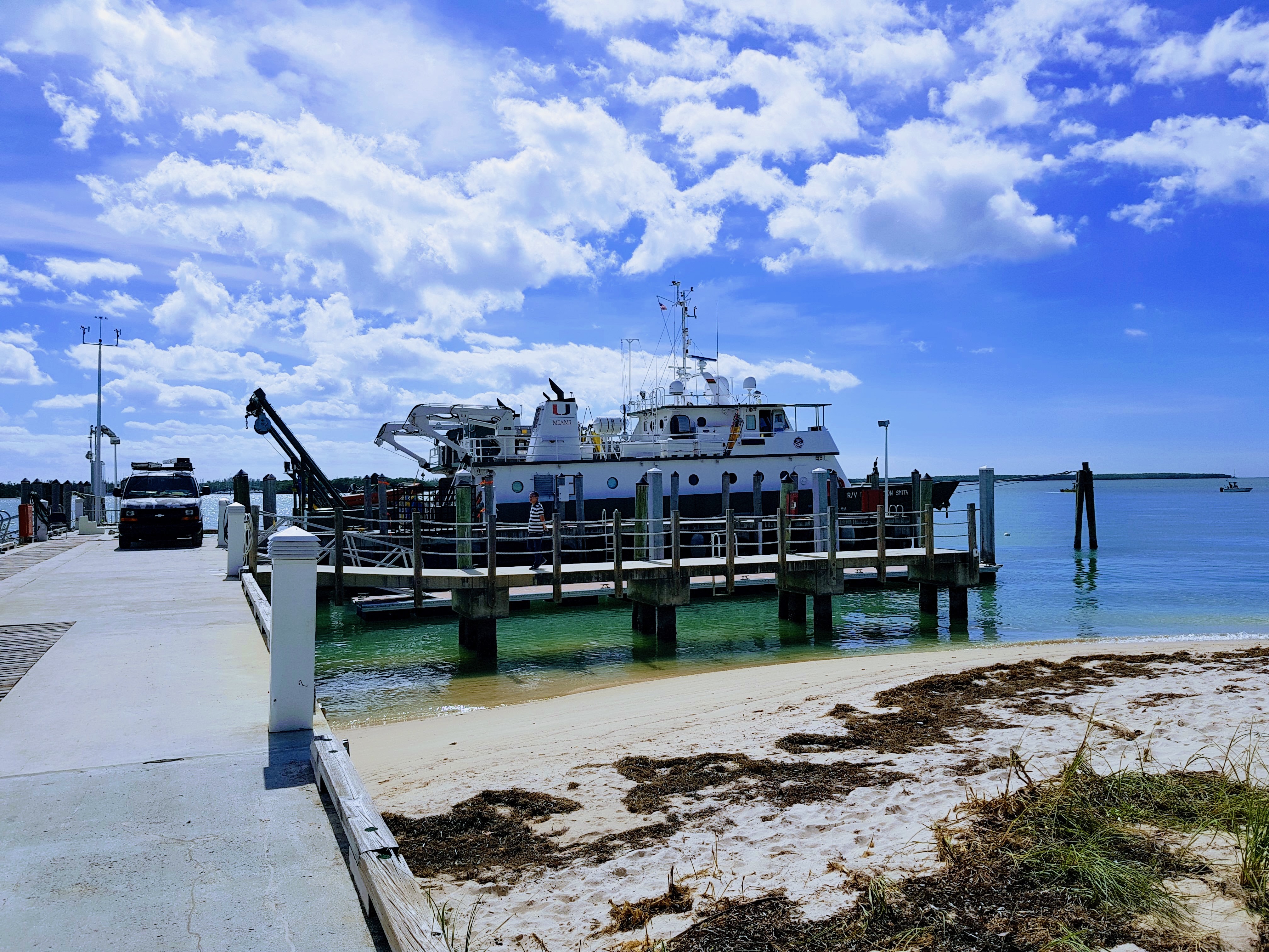
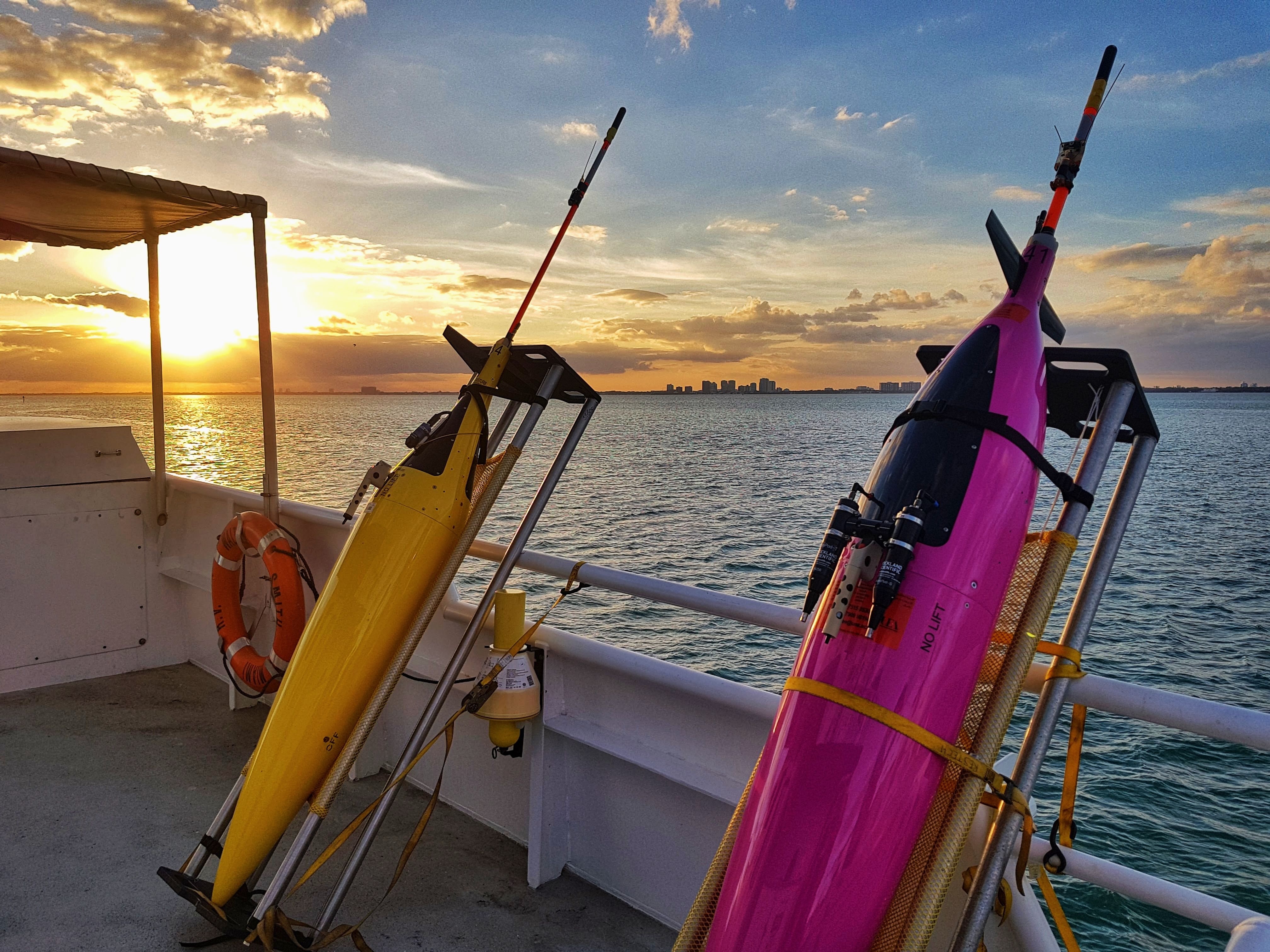
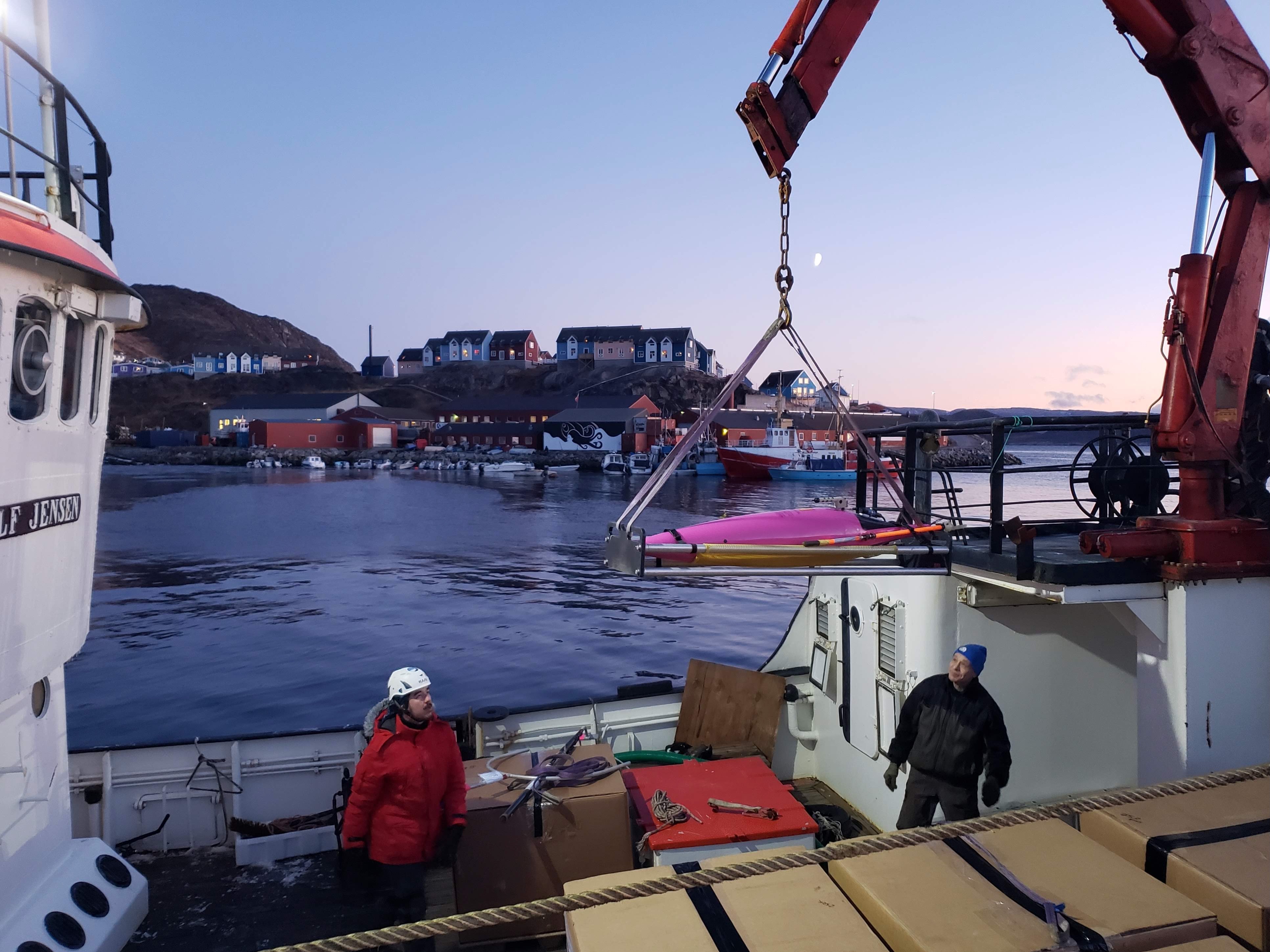
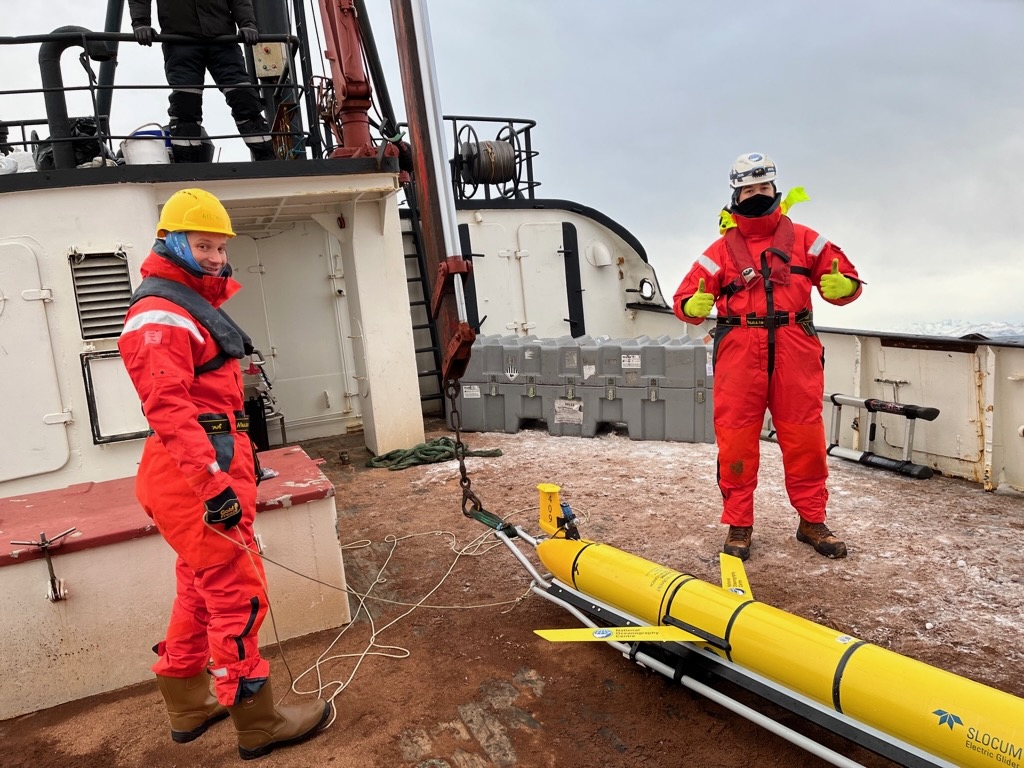
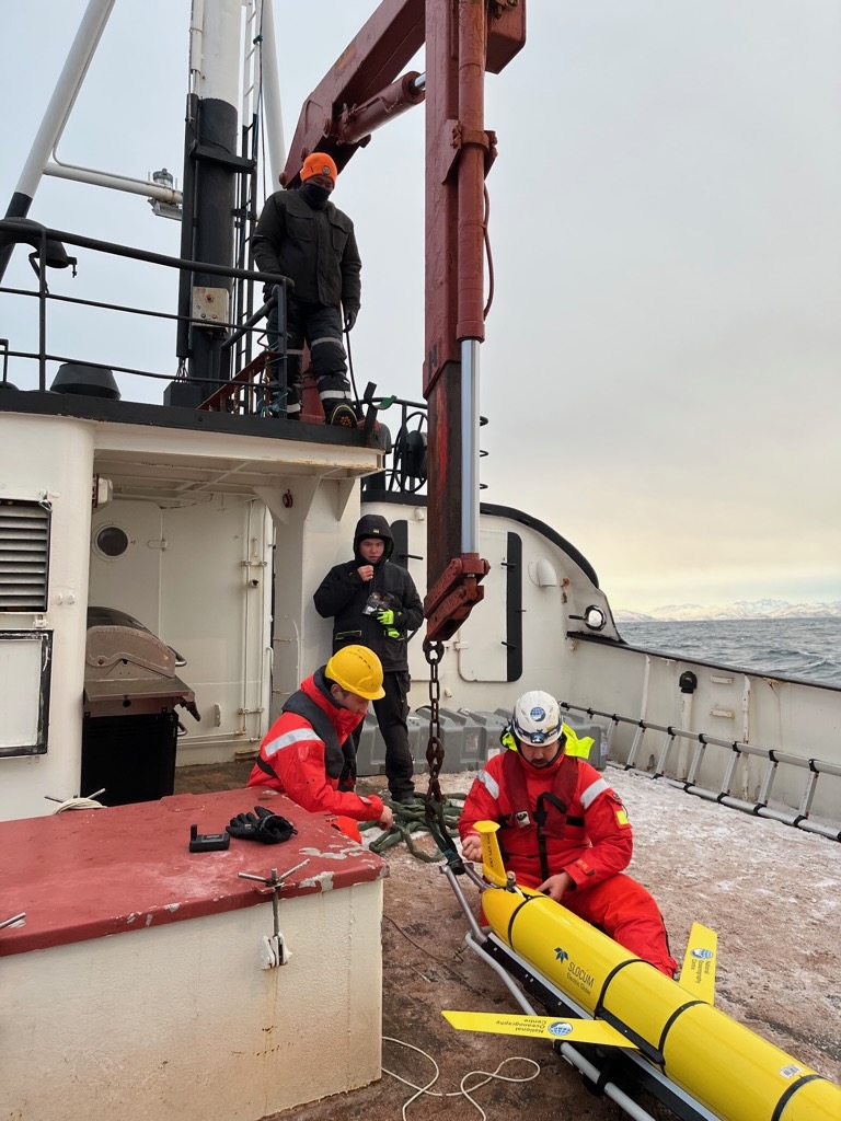
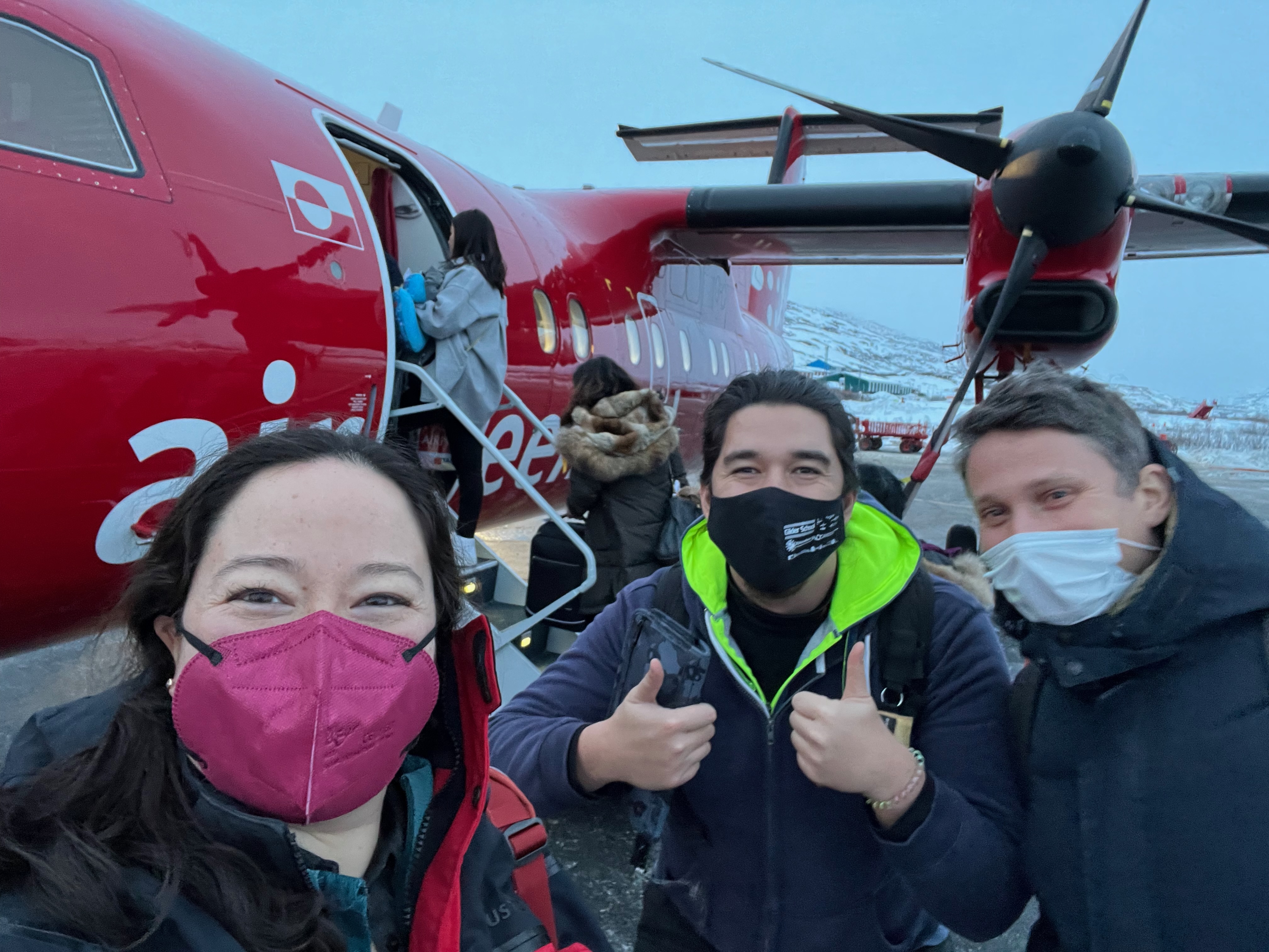
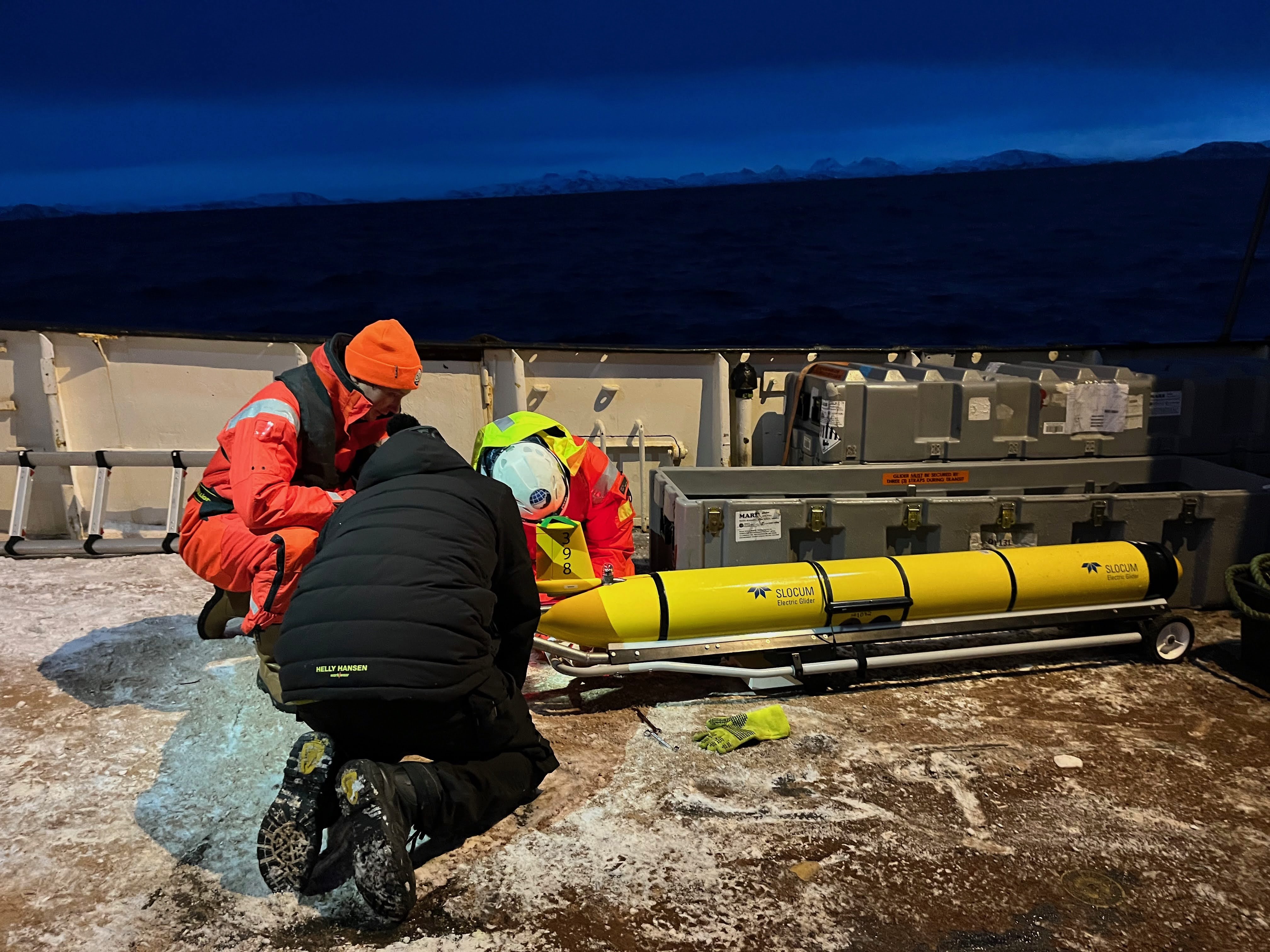
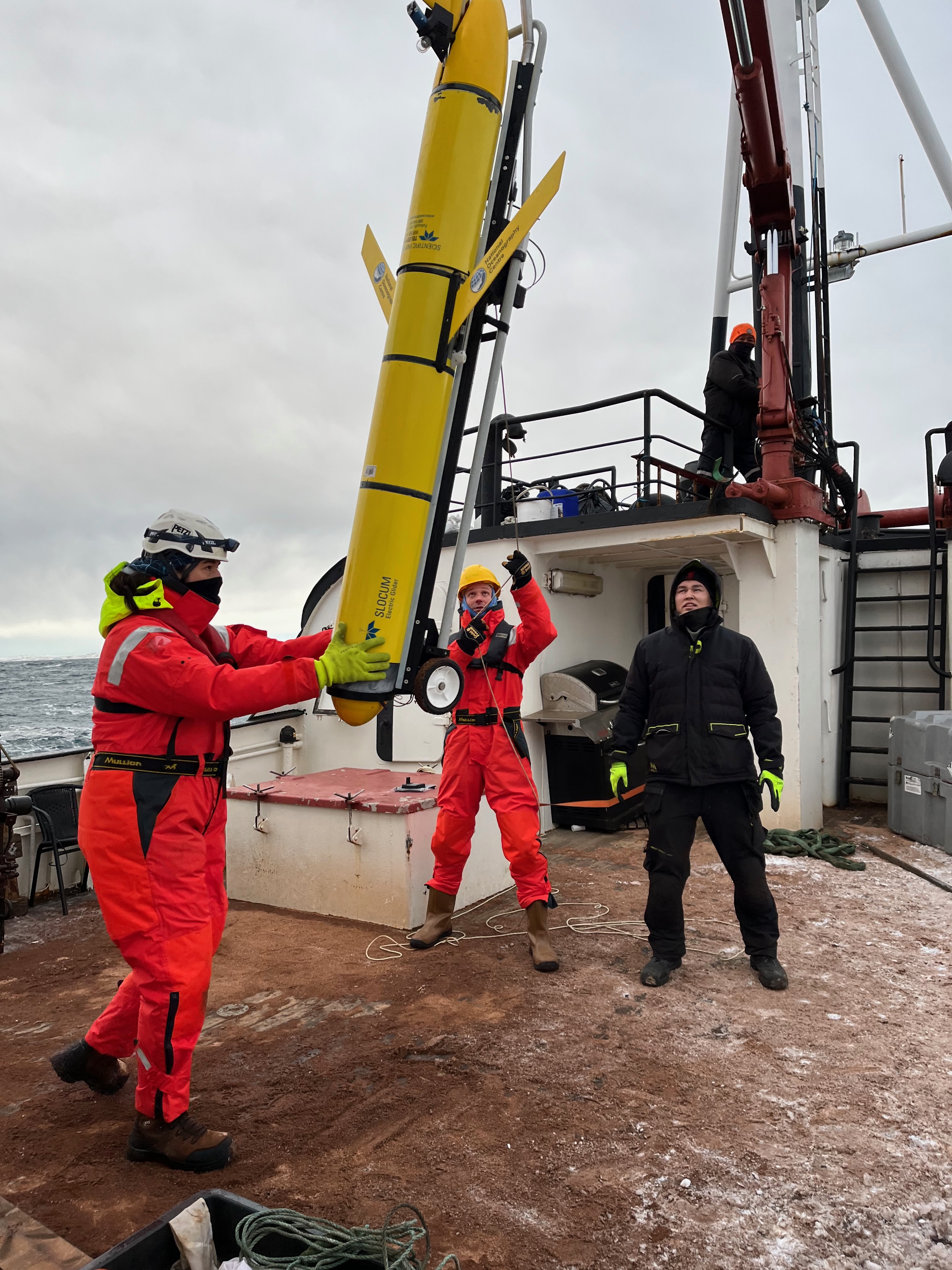
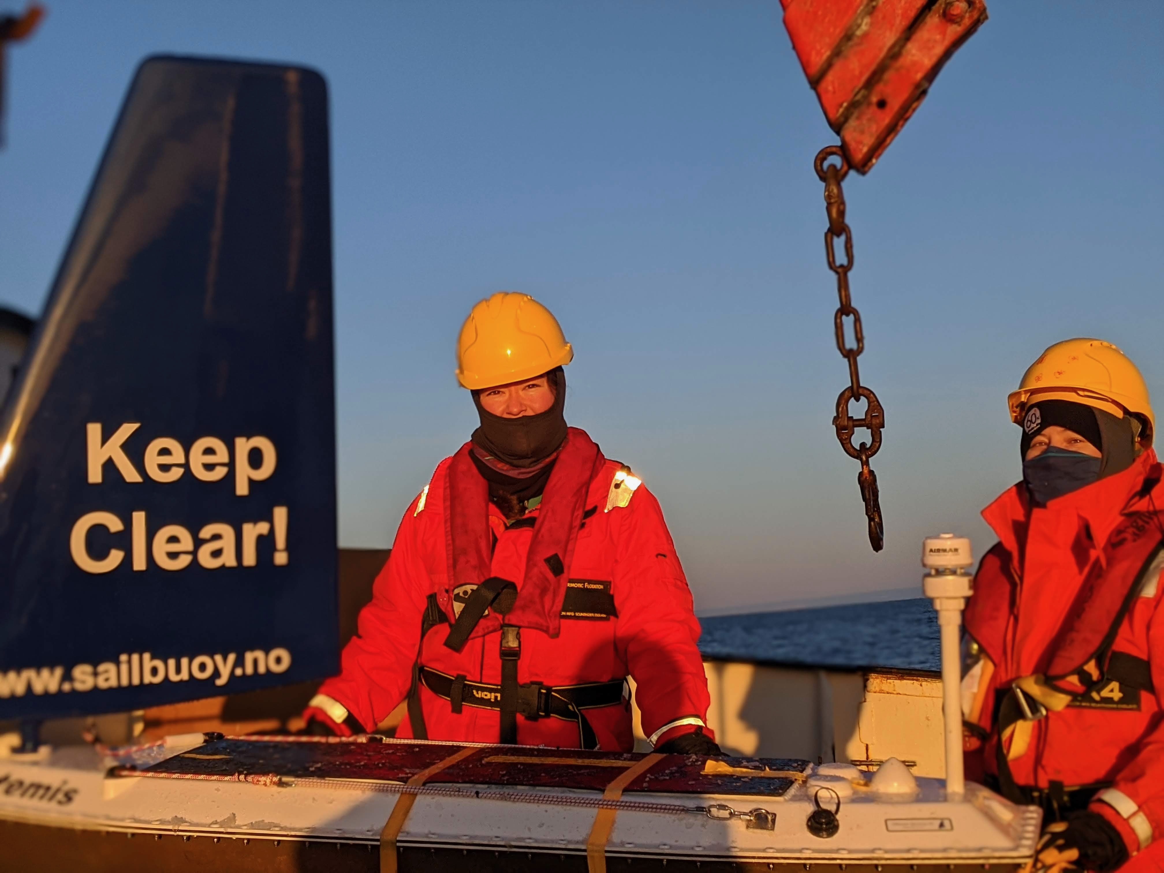
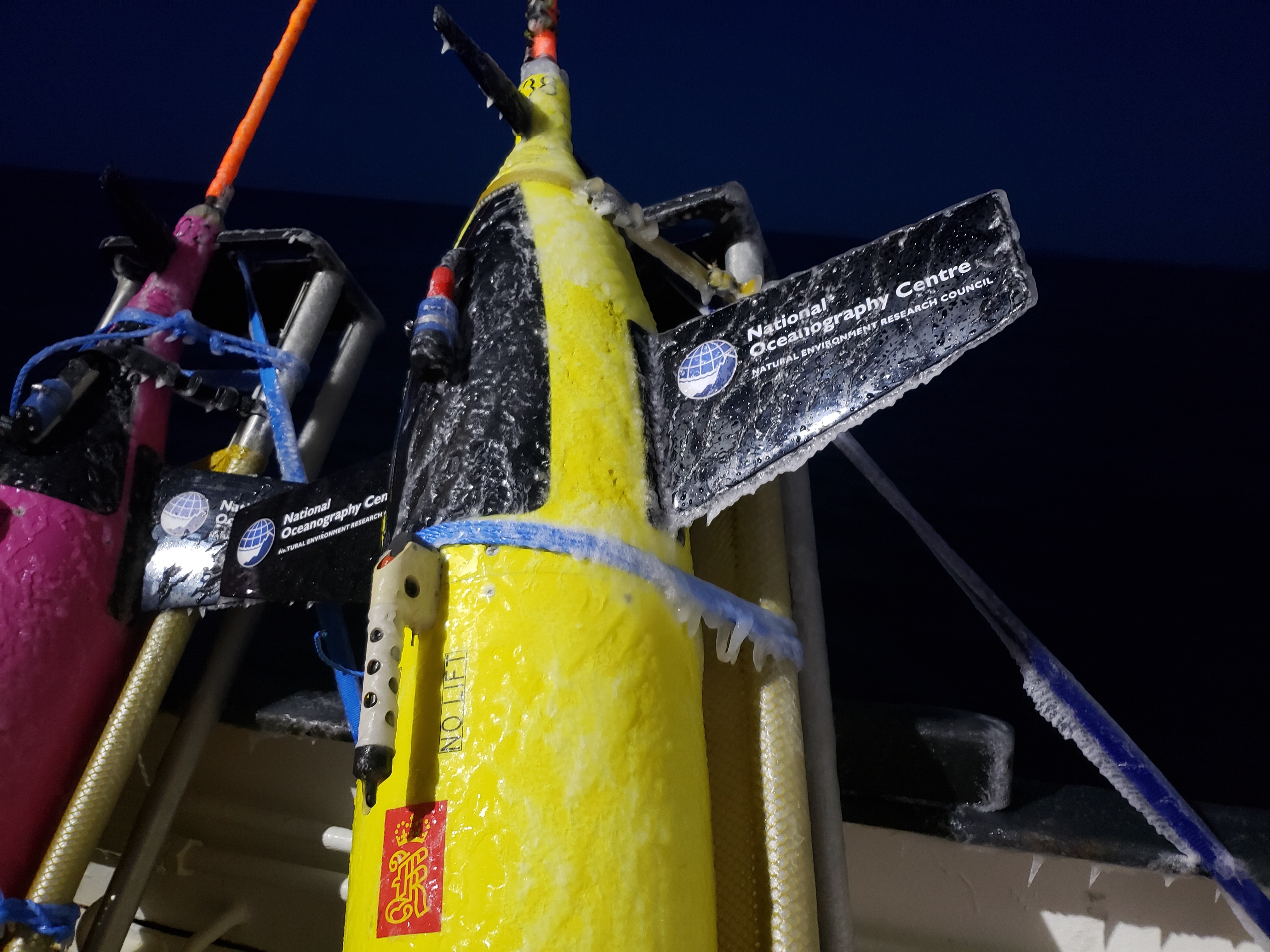
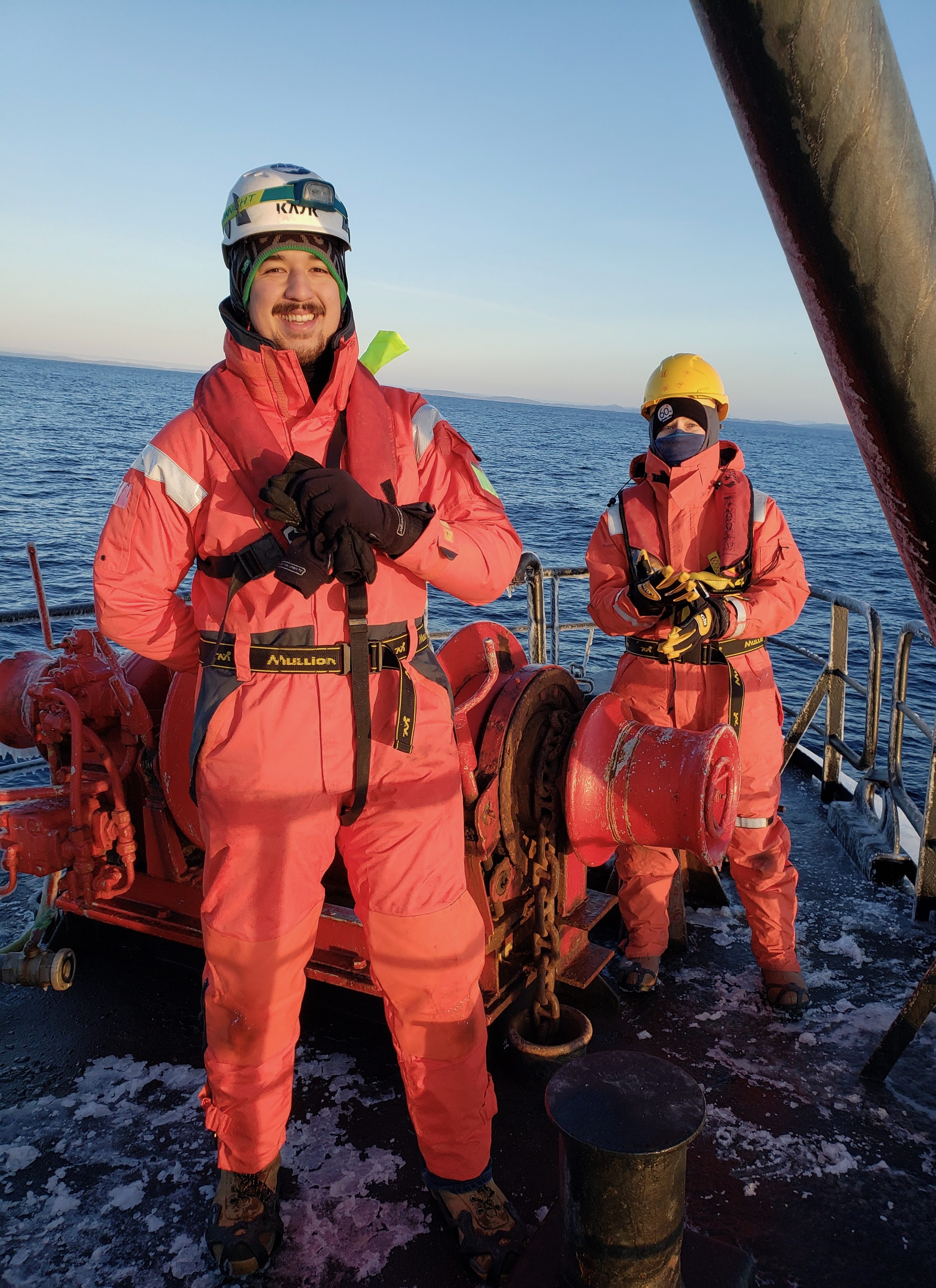
Photo galleries
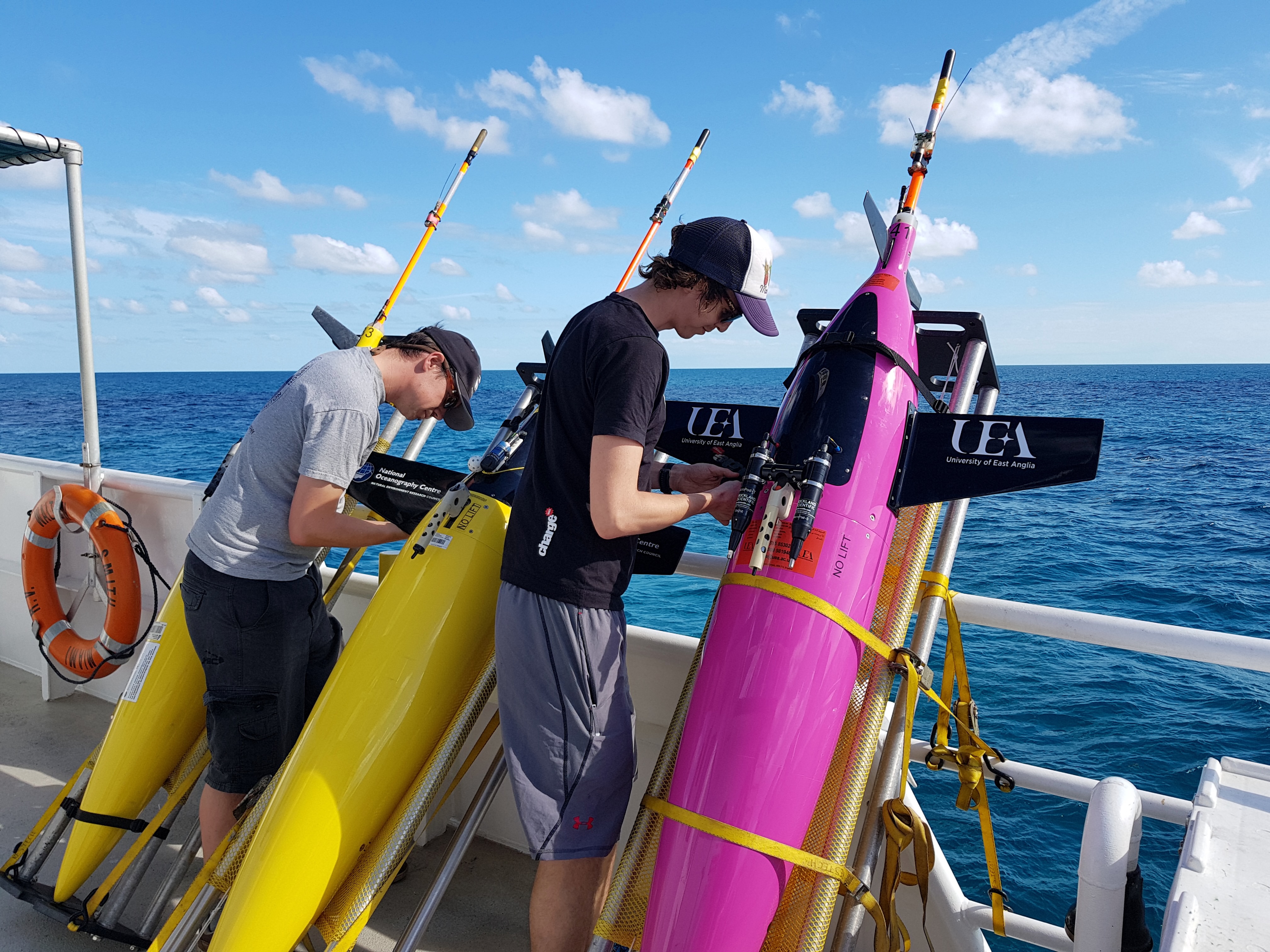
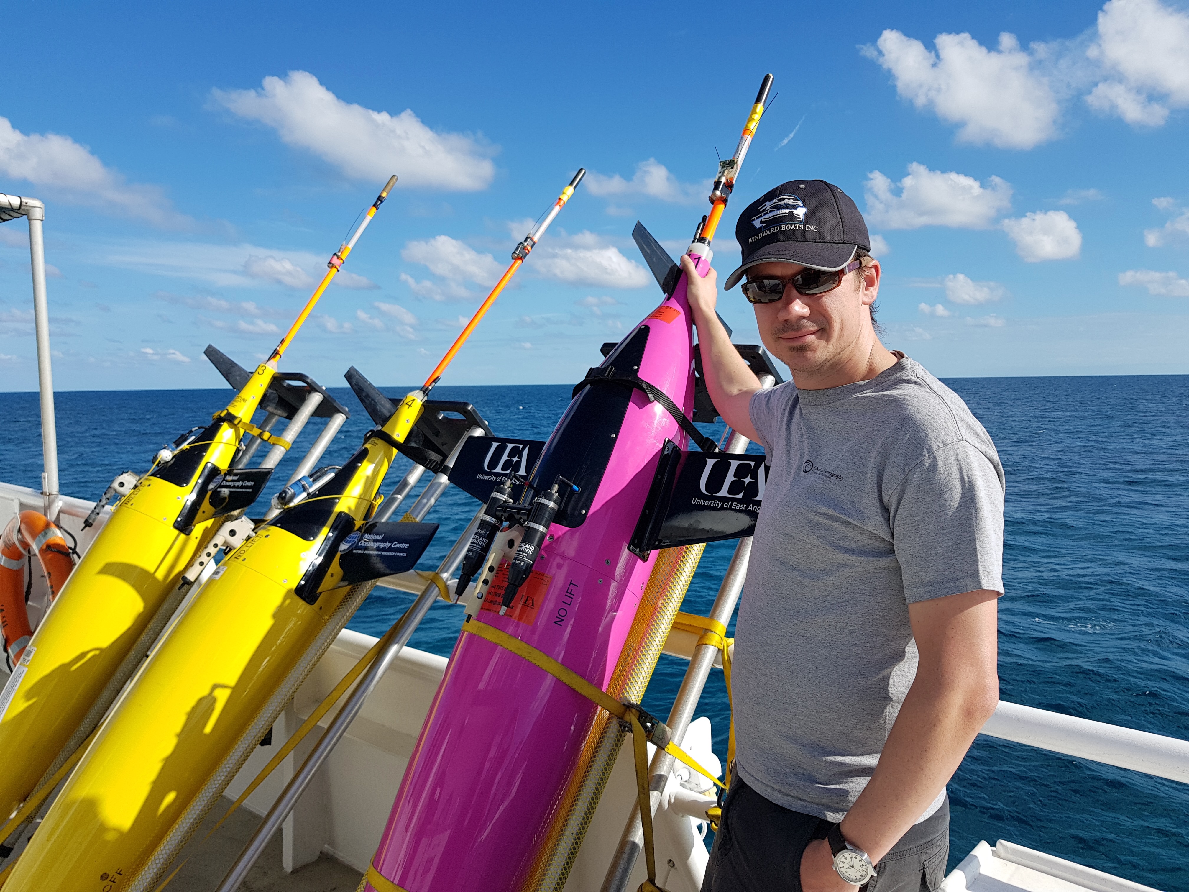
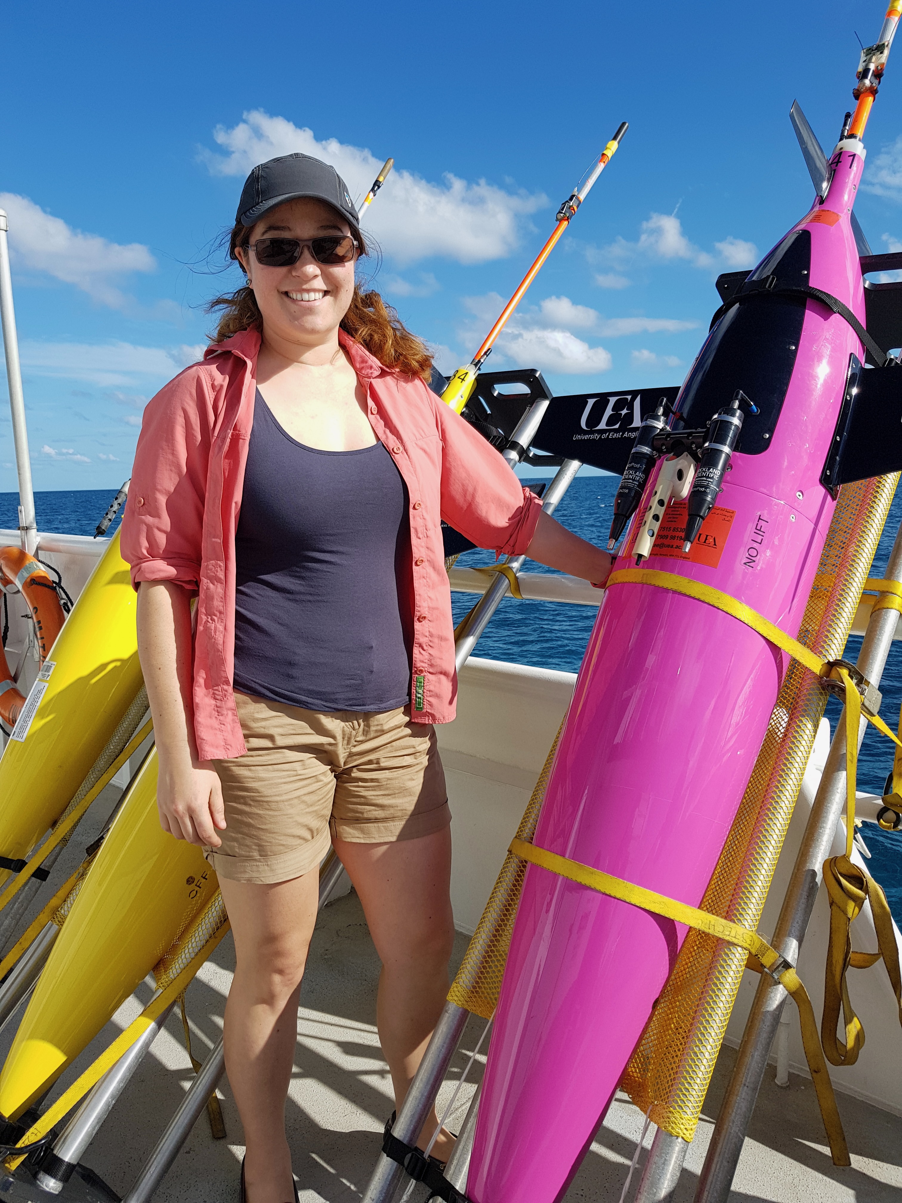
Photos from the TERIFIC deployments
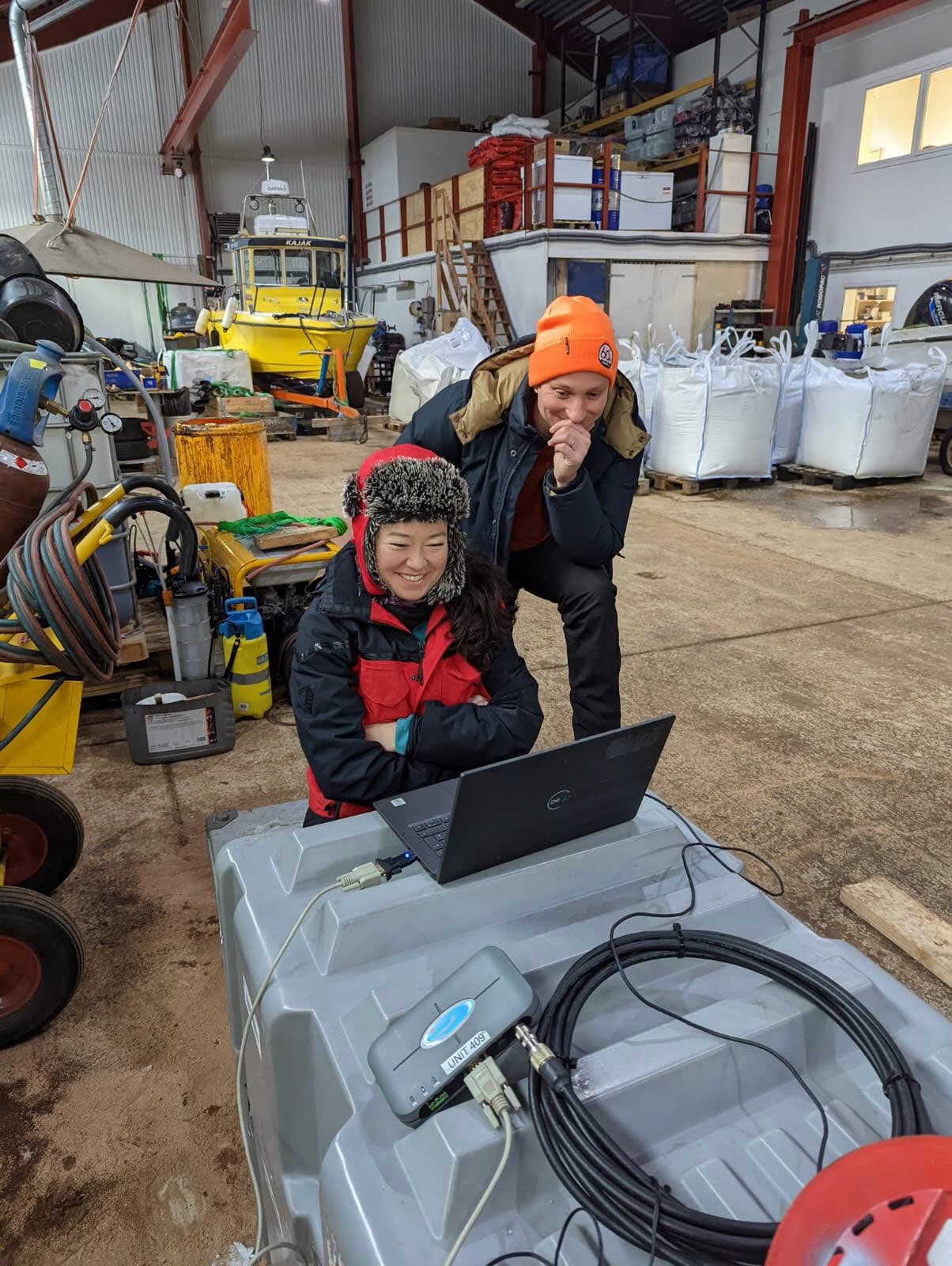
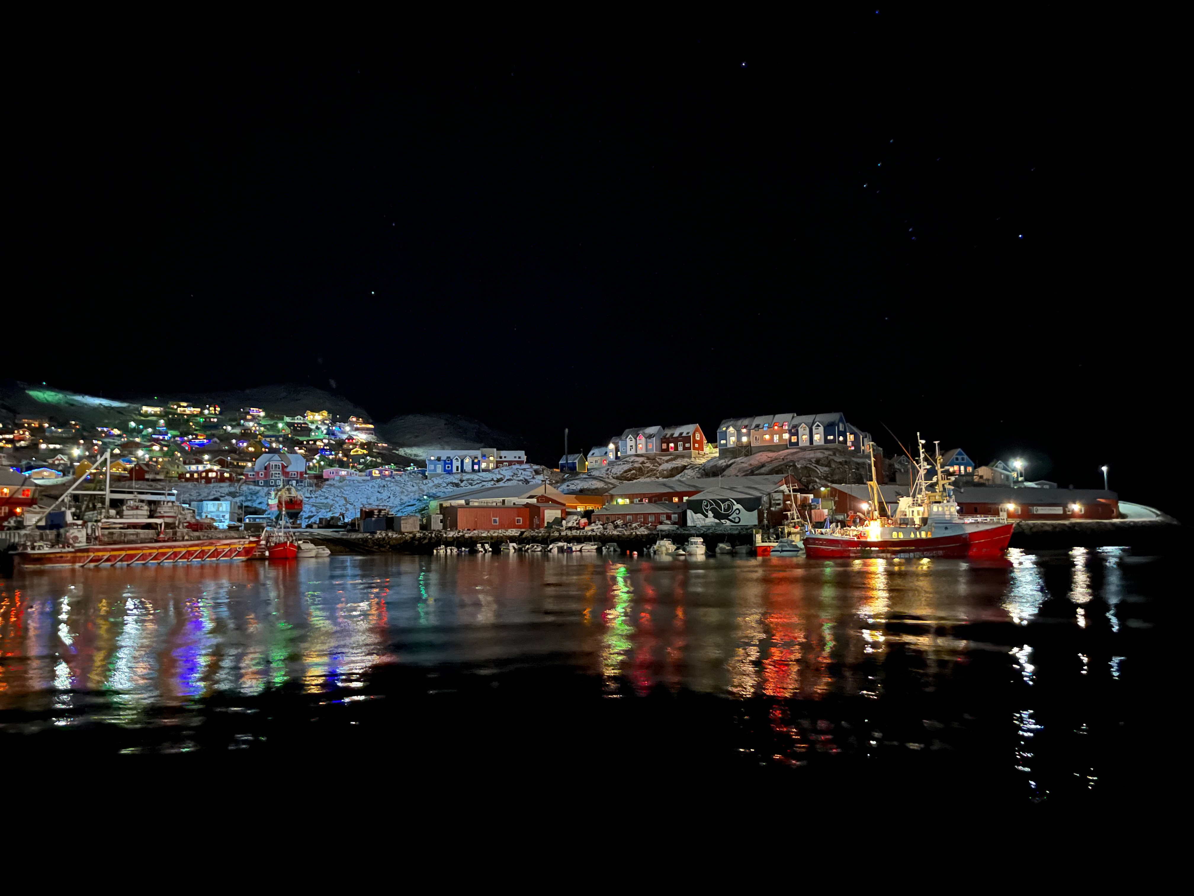
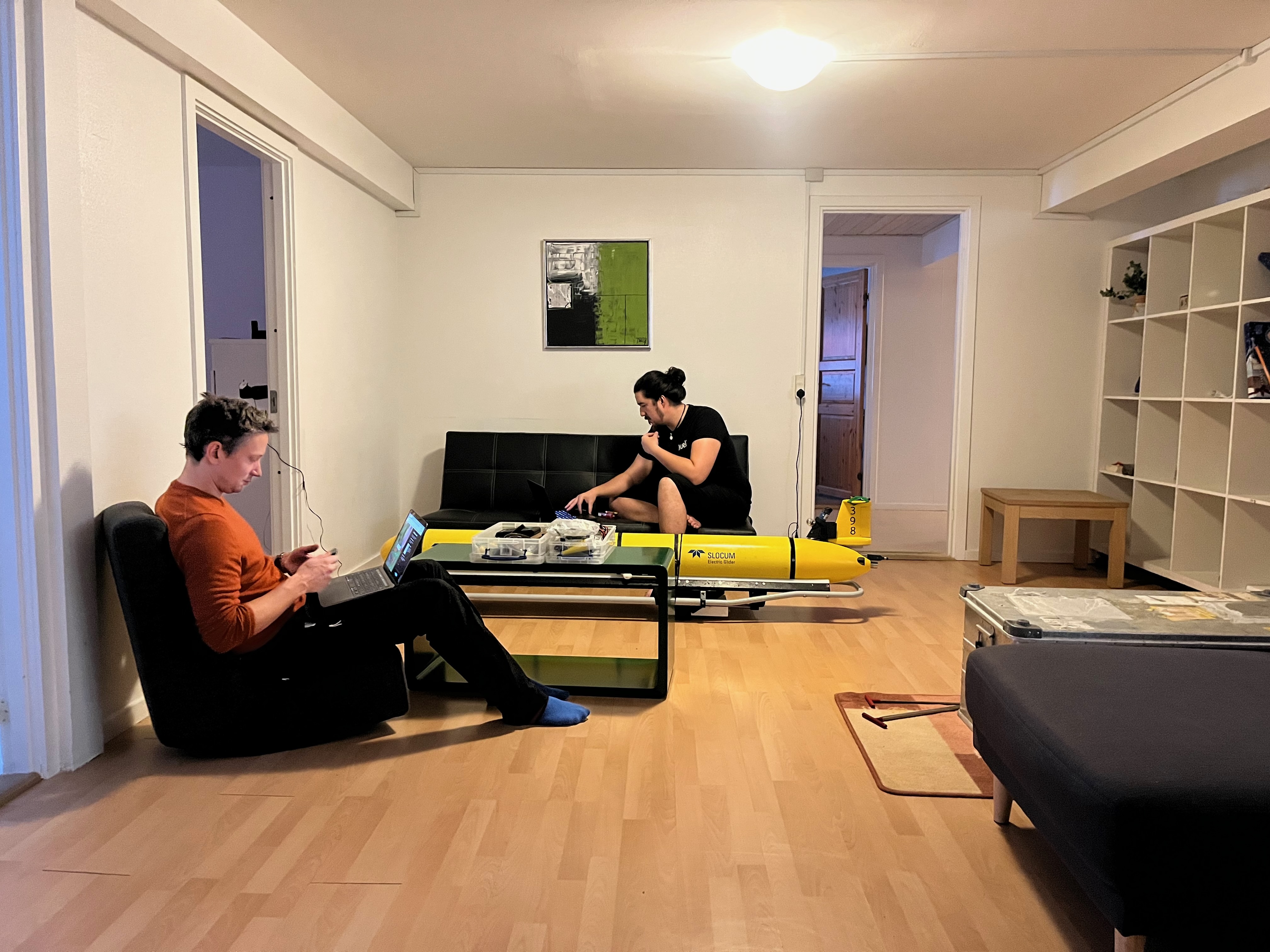
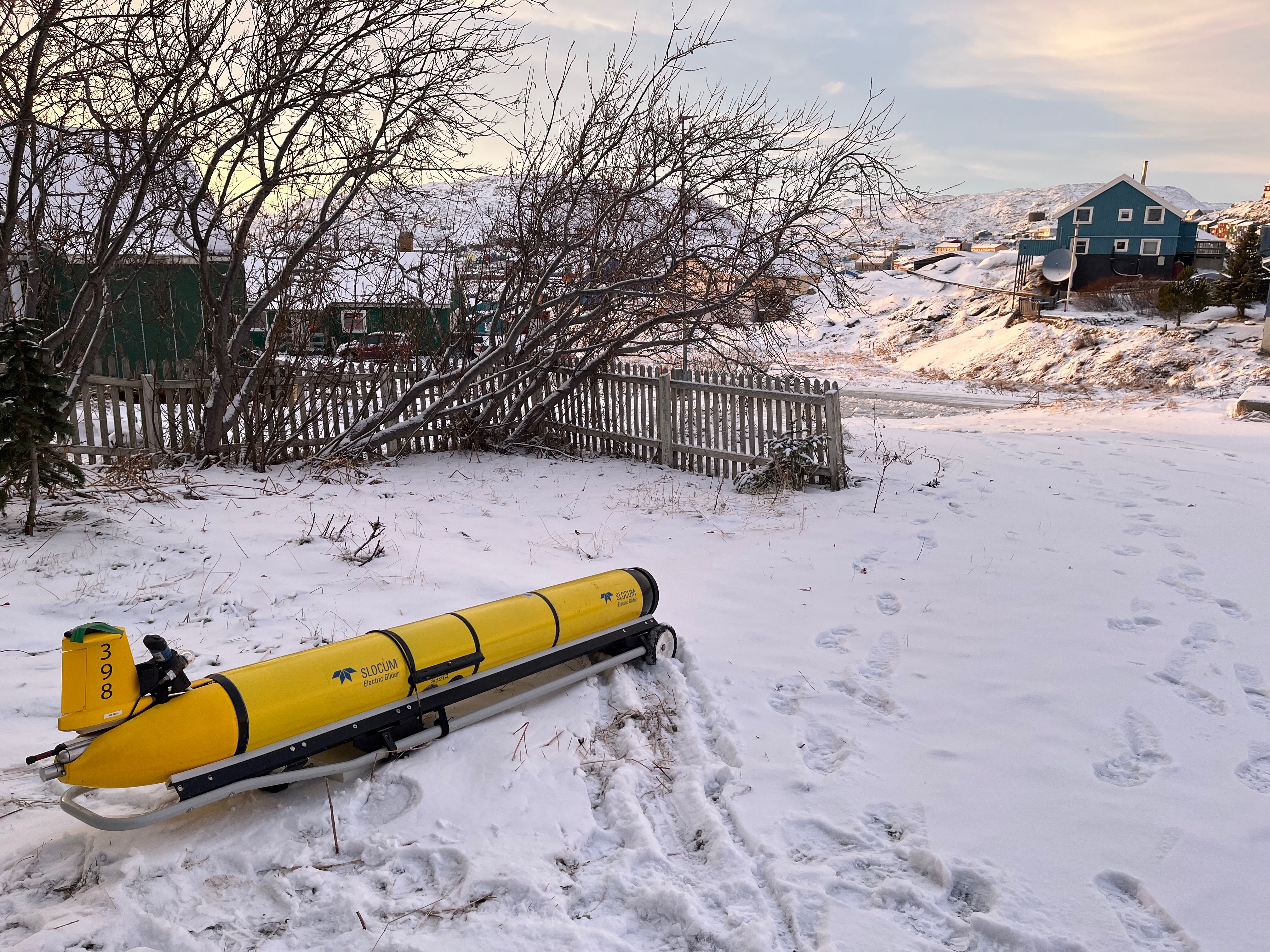
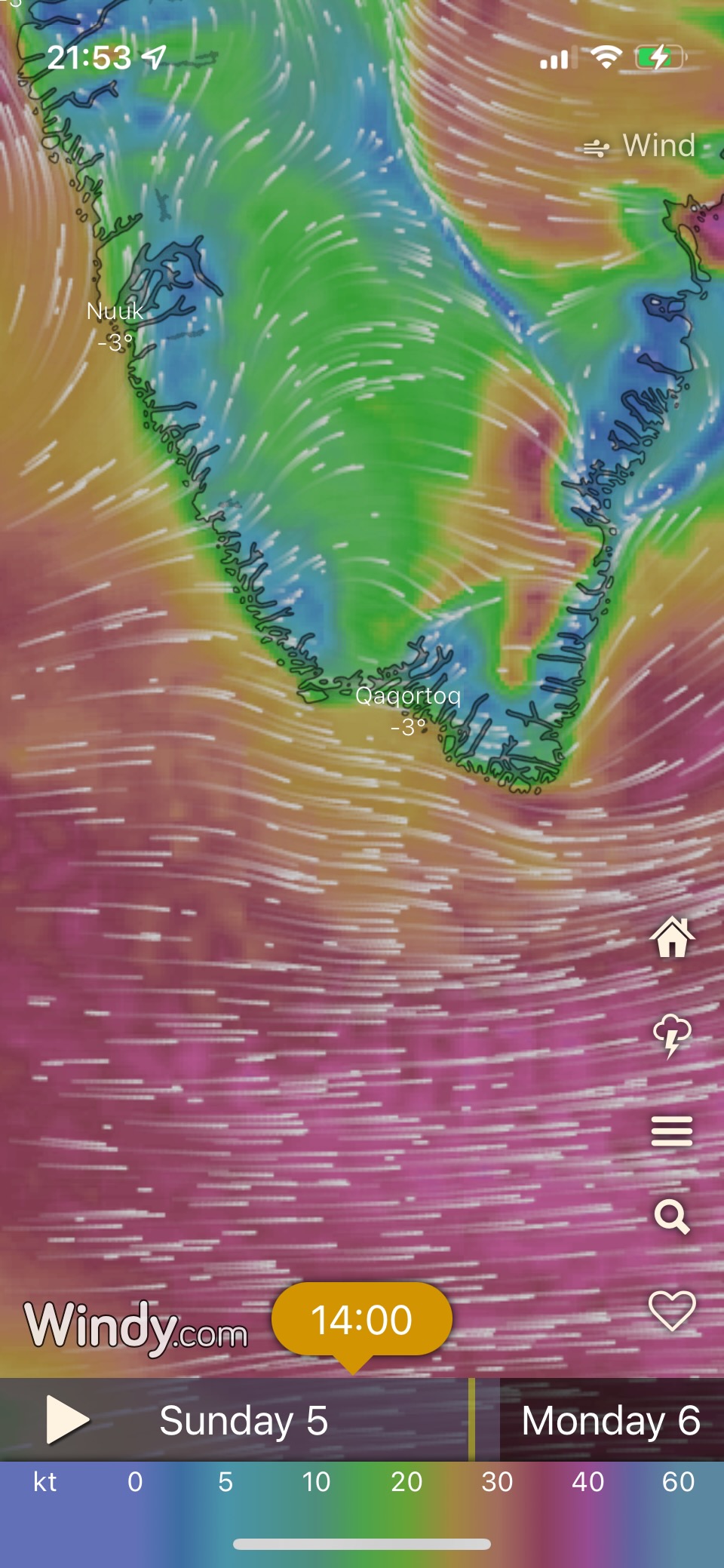
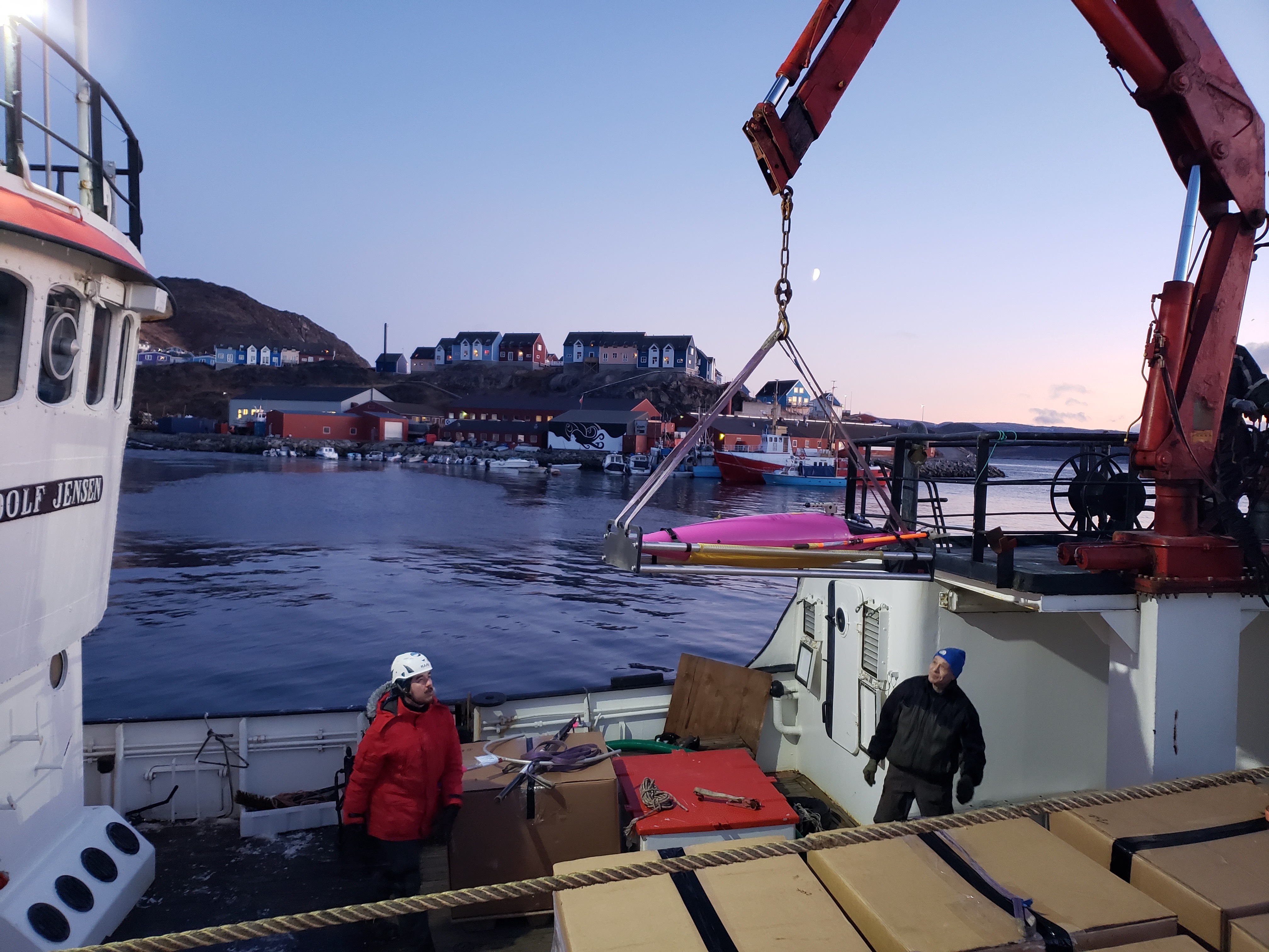
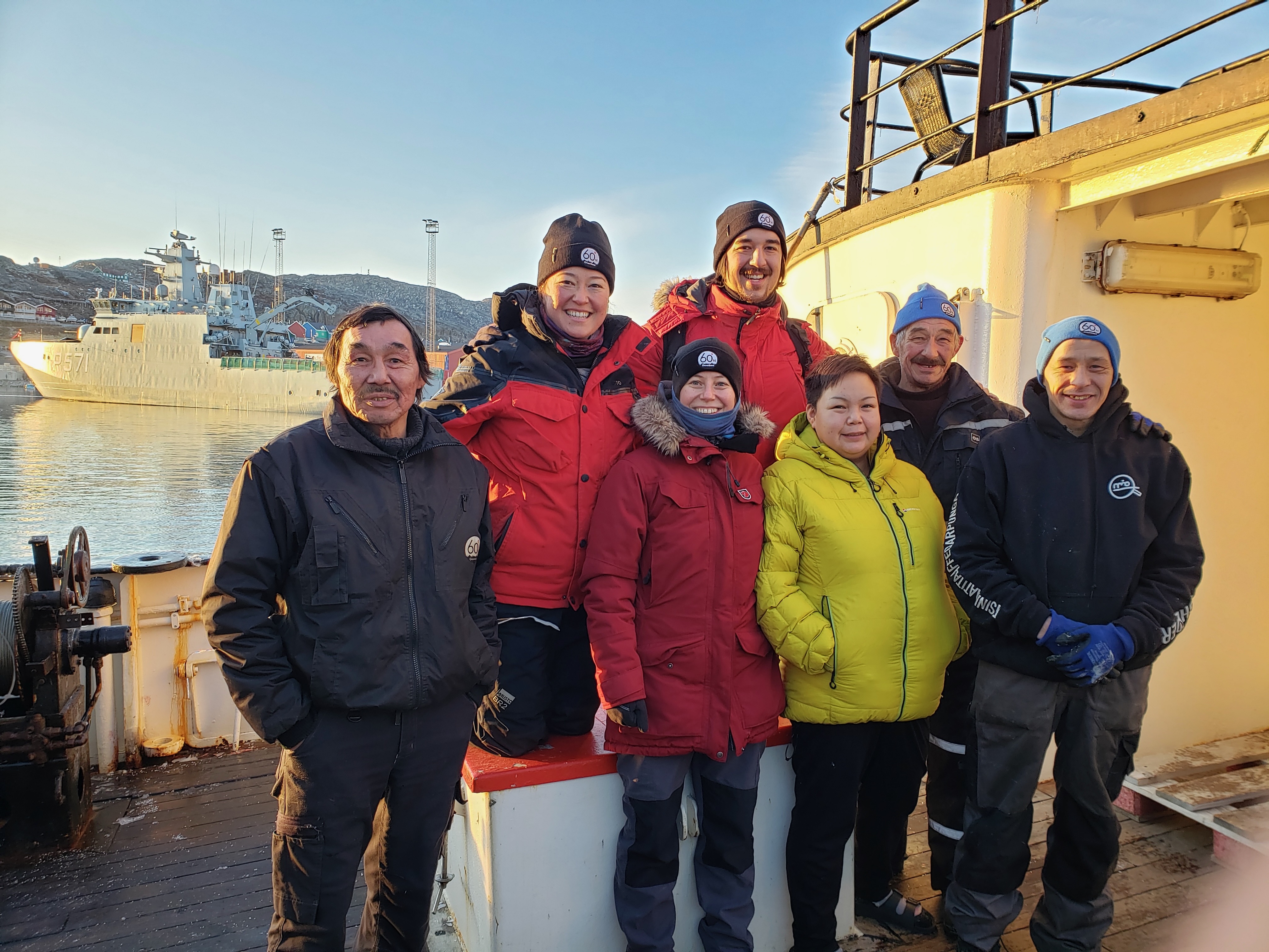
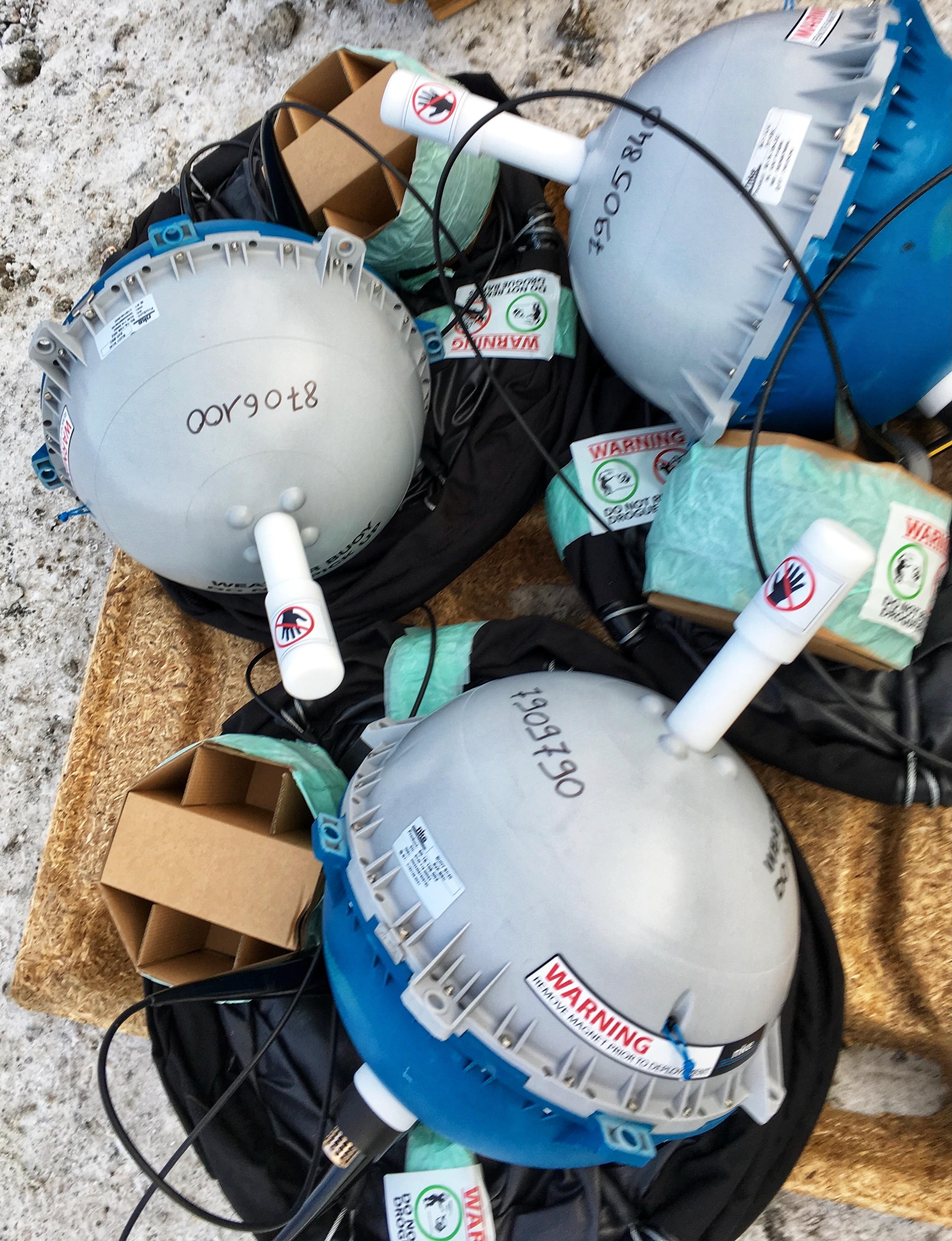
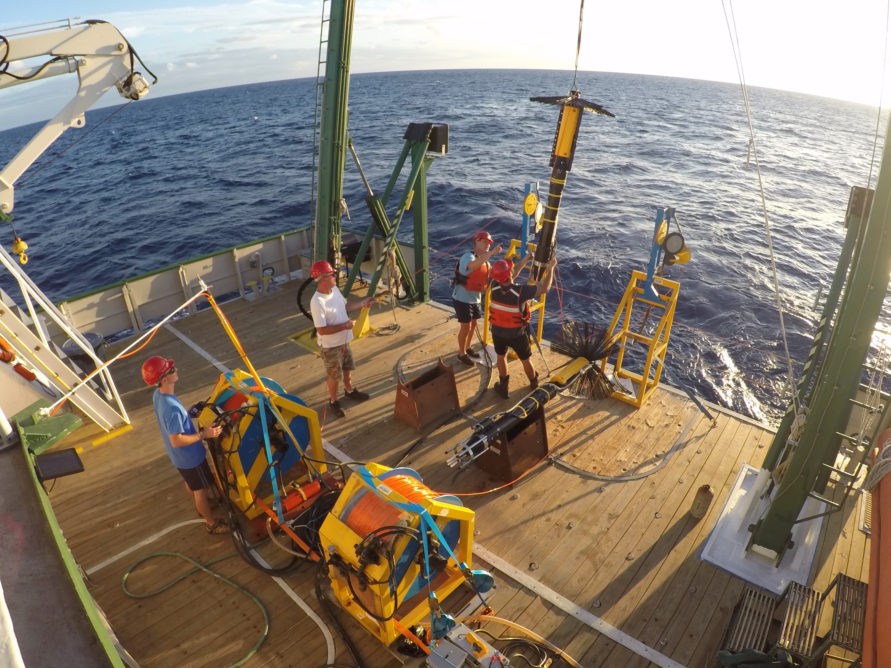
Photos from MerMEED deployments